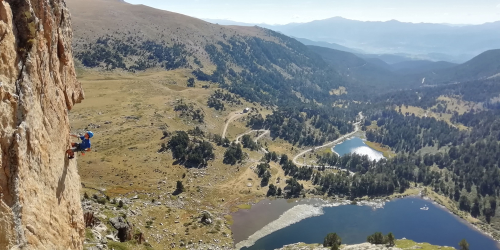
Hiking
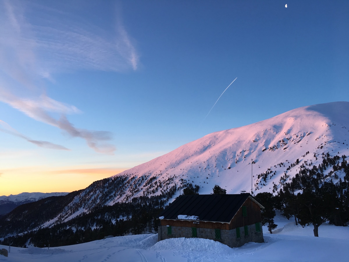
Access to the Shelter
Summer: From Pollineres to the Shelter
Distance: 5,74 km
Positive elevation: 283 m
Winter: From the cross-country skiing resort of Aransa to the Shelter
Distance: 6,12 km
Positive elevation: 463 m
Andorra: From Encamp to the Shelter
Distance: 15,18 km
Positive elevation: 721 m
Andorra: From Sant Julià to the Shelter
Distance: 20,56 km
Positive elevation: 534 m
One-day circular routes from the shelter
Shelter – Tossal de la Truita or peak of Perafita – Monturull – Shelter
Estanys de la Pera Shelter – Monturull – Claror Shelter – Estany de la Nou – Peak of Perafita – Estanys de la Pera Shelter
Estanys de la Pera Shelter– Tosa del Sirvent – Peak of Colilla – Estany de Colilla – Shelter
Estanys de la Pera Shelter, Tossa Plana, Peak of Maiana, Perafita Shelter, Estany de la Nou, Estany de Perafita, Shelter

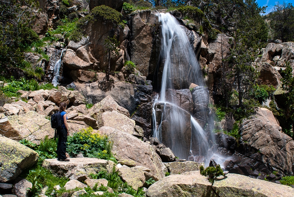
Hikes between shelters
Route of Estanys Amagats
Route of the 101 lakes
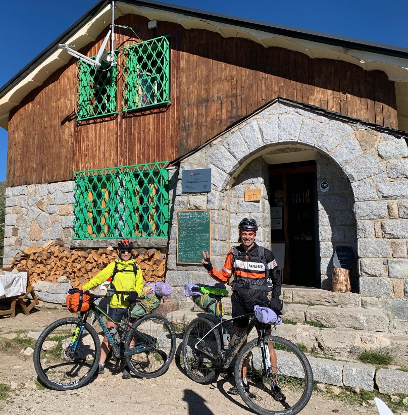
MTB / Gravel routes
Cerdanya tour